Polo Reaches Category 5 as Two Other Hurricanes Advance in the Pacific


Posted on 09/27/26 at 06:58
- Polo reaches Category 5.
- Nolo threatens Hawaii directly.
- Odalys remains far from Mexico.
The Pacific is experiencing an unusual episode with Polo, Odalys, and Nolo active simultaneously between Mexico and Hawaii, although each cyclone has a different trajectory and level of risk. This is the second time during September 2026 that three hurricanes have coincided in the eastern and central basins.
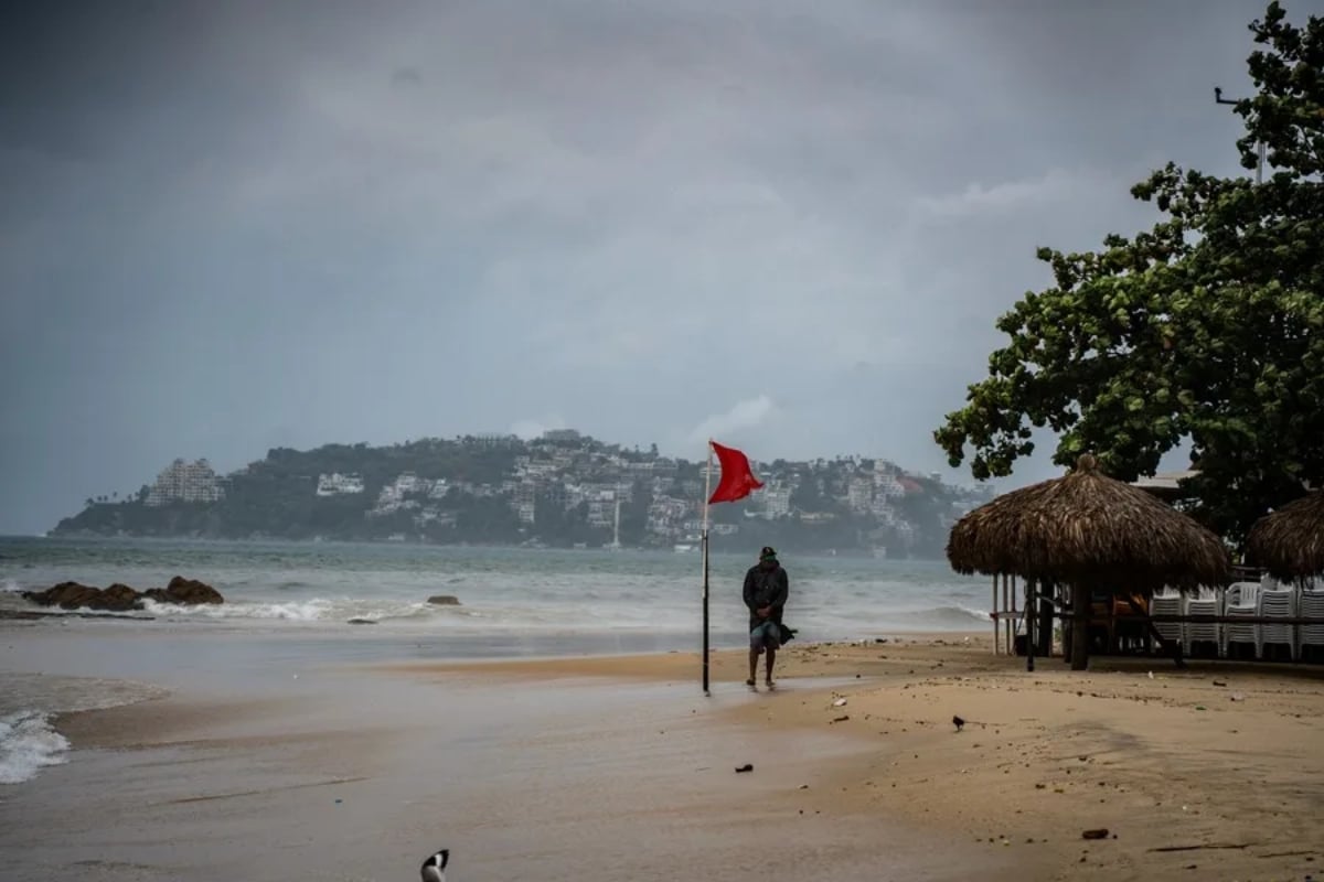
Polo regained Category 5 status on Friday, September 25, and reached maximum sustained winds of 285 km/h while remaining south of Baja California Sur. The National Hurricane Center (NHC) asked people to closely follow its evolution due to its possible approach to the peninsula.
During the night, Mexico issued a hurricane watch for part of Baja California Sur. At 8:00 p.m. MST, Polo remained a Category 5 hurricane, with sustained winds of 280 km/h and located approximately 610 kilometers south of Cabo San Lucas.
The NHC forecast anticipated a significant change in its trajectory over the weekend, with a possible impact on Baja California Sur on Monday. The exact intensity as it approaches land may change so that official updates will be crucial.
Odalys Surges to Category 4, but Remains Far from Mexico
#Polo remains a Category 5 #Huracán on the #Saffir-Simpson scale. Its circulation will bring very heavy #Lluvias to areas of #Nayarit and heavy rains to areas of #BajaCaliforniaSur, #Sinaloa, #Jalisco, #Solima, and #Michoacán. Details in the graph pic.twitter.com/Q2Lv5pyC6z
— CONAGUA Clima (@conagua_clima) September 25, 2026
Odalys also surprised with its rapid intensification: on Friday morning, it reached Category 4 after satellite images showed significant strengthening of the system in a few hours.
At 8:00 a.m. PDT, the center of Odalys was approximately 1,540 kilometers west-southwest of the southern tip of Baja California, with maximum sustained winds of 215 km/h and moving north-northeast.
Unlike Polo, the NHC did not maintain coastal watches or warnings for Odalys and indicated that the system posed no direct threat to land at that time. The forecast anticipated a gradual weakening trend beginning over the weekend.
The presence of Odalys completes a striking configuration in the Pacific, but it does not mean that the three hurricanes represent a joint threat. Their centers, intensities, and trajectories are different, and their possible consequences must be evaluated individually.
Nolo Threatens Hawaii with Potentially Deadly Flooding
See the updated information on #Huracán #Polo at 09:00 hours, in the #Pacífico Ocean. It remains a Category 5 on the #SaffirSimpson scale ⬇️ pic.twitter.com/Nzt2pMrruy
— CONAGUA Clima (@conagua_clima) September 25, 2026
Nolo is the focus of concern in the United States. On Friday morning, it was located about 335 kilometers south of South Point on the Big Island of Hawaii, with maximum sustained winds of 140 km/h and moving north-northeast.
The Central Pacific Hurricane Center warned of the possibility of catastrophic, potentially deadly flash flooding on the Big Island over the weekend, elevating the risk beyond the cyclone’s winds.
The threat also includes intense rainfall, hazardous surf, and possible landslides in vulnerable terrain. Conditions can change rapidly depending on Nolo’s trajectory, so residents and travelers must follow local authorities’ instructions.
YOU MAY BE INTERESTED: Storm puts New York on alert: strong winds threaten to paralyze the weekend
For the Hispanic community residing or traveling in Hawaii, the recommendation is to check official alerts, avoid traveling through flooded areas, and prepare basic supplies in case of service interruptions during the system’s passage.
Three Simultaneous Hurricanes Make September an Exceptional Month
Polo, Odalys, and Nolo represent the second coincidence of three hurricanes in the Pacific during September. Earlier in the month, Lowell, Karina, and Marie were also active simultaneously, something that had not occurred in these basins since 2015.
The 2015 precedent was even more extraordinary: Kilo, Ignacio, and Jimena simultaneously reached Category 4, becoming the first recorded instance with three cyclones of that intensity active at the same time in the central and eastern Pacific.
The current coincidence does not imply that Polo, Odalys, and Nolo have the same level of danger. Polo is the focus of attention over Baja California Sur; Odalys remains in open waters; and Nolo poses a significant risk of flooding for Hawaii.
With the three systems evolving, forecasts can change in a matter of hours. The priority for residents of potentially affected areas should be to consult the NHC, Mexican meteorological authorities, and local emergency agencies before making decisions.