Northeast Prepares for Intense Cold: First Snowflakes Possible


Posted on 10/14/26 at 07:36
- Intense cold will arrive this weekend.
- Possible snowflakes in mountainous areas.
- Wind and rain will complicate travel.
The Northeast United States could receive the coldest air of the season so far during the weekend of October 17 and 18.
According to AccuWeather, the cold snap will come after a brief warm-up and will be accompanied by rain, wind, and possible snowflakes in the mountains.
The transition will begin on Friday, October 16, when a system from Canada advances through the Great Lakes towards New England.
For families planning outings, school activities, or outdoor work, the change will require adjusting clothing, schedules, and travel.
Possible Snow in New York and New England
🥶 FALL COLORS. WINTER FEELS.
Gusty winds + colder air bring a chilly weekend to New England, especially Sunday morning and in the mountains.
Watch my NappiCast wind chill breakdown before heading out. Bundle up! 🧥
#NappiCast #NewEnglandWeather https://t.co/AGh5dqPOy3
— Jason Nappi (@jasonnappiwx) October 13, 2026
The possibility of snowflakes is concentrated in the northern elevations of New York, Vermont, New Hampshire, and Maine.
The peaks of the Adirondack, Green Mountains, and White Mountains have the most favorable conditions for winter precipitation at the start of the weekend.
The forecast contemplates brief episodes and scarce or non-existent accumulation, so it does not yet describe a widespread snowfall in the region.
The distinction is key for travelers: the conditions on a peak can differ significantly from those recorded in nearby lower-altitude locations.
Temperatures Near Freezing on Saturday
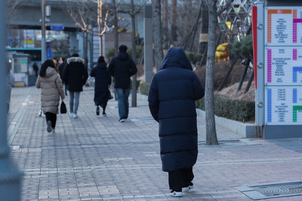
Saturday’s highs could be between 30 and 39 °F, approximately −1 to 4 °C, in mountainous areas of New York and New England.
Further south, other locations in the Northeast will reach highs between 50 and 59 °F, equivalent to around 10 to 15 °C.
At night, areas in northern New York, Vermont, and New Hampshire could drop to the range of 20 to 29 °F, approximately −7 to −2 °C.
The wind and cloudiness will increase the feeling of cold, making prolonged outdoor stays especially uncomfortable.
Wind and Wet Leaves Will Complicate Travel
AccuWeather projects gusts of 35 to 45 mph, approximately 56 to 72 km/h, with potentially higher values in elevated terrain.
The wind could strip leaves and reduce the appeal of some tourist routes during the fall color season.
For those visiting parks or scenic roads, it’s a good idea to check the conditions at the destination and maintain flexibility to modify the itinerary.
YOU MAY BE INTERESTED: A storm could intensify off the Northeast and cause strong winds on the coast
Wet leaves can also reduce traction on pavement and clog drains, favoring water accumulation on streets.
What to Check Before Heading Out This Weekend
Residents can check the forecast for their area and the National Weather Service alerts before starting a trip.
Those who work outdoors should plan for layered clothing and rain protection, especially if their workday starts early.
At home, checking the heating system and clearing accessible drains can help prepare for the change in conditions.
Sunday is expected to see a moderate recovery in temperatures and drier weather, although the forecast may be adjusted as the system approaches.
SOURCE: accuweather ,