Invest 96L Could Become the Atlantic’s Next Tropical Depression as Caribbean Watches Closely


Posted on 08/27/26 at 06:00
- Invest 96L in the Atlantic
- El Niño Continues to Strengthen
- Caribbean Remains Under Watch
The Atlantic is showing signs of activity again with Invest 96L, a tropical disturbance being monitored as El Niño continues to strengthen and could reach exceptional intensity.
The system is located several hundred miles southwest of Cape Verde, associated with a tropical wave that is generating disorganized rain and thunderstorms.
Meteorologists believe the disturbance could organize into a tropical depression over the next few days as it moves west or west-northwest.
The National Hurricane Center (NHC) is keeping a large area under watch between Cape Verde and the Caribbean, where it gives the system a chance to develop over the next seven days.
El Niño Could Reach Historic Strength
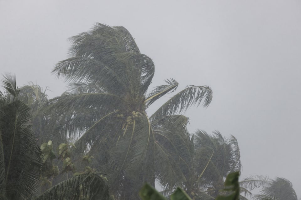
As Invest 96L tries to organize, El Niño continues to gain intensity and could become one of the strongest episodes on record if it maintains its evolution over the next few months.
The National Oceanic and Atmospheric Administration (NOAA) has indicated that the phenomenon could reach historic levels by the end of 2026, increasing interest in its potential meteorological effects.
YOU MAY BE INTERESTED IN: U.S. to Issue Commemorative Passports with a Trump Image Starting in August
A strong El Niño typically generates conditions that hinder the development of hurricanes in the Atlantic due to increased unfavorable winds at different levels of the atmosphere.
This effect can interfere with the structure of tropical cyclones, although it does not mean that it completely eliminates the risk of storms or hurricanes during the season.
Invest 96L Faces Favorable Conditions and Obstacles
Invest 96L currently has abundant atmospheric moisture in its surroundings, a condition that could favor greater organization of the storms as it traverses the open waters of the Atlantic.
However, meteorologists warn that a significant obstacle persists: the lack of sufficient vertical instability in the deep tropical zones, a situation that has limited activity recently.
Dust columns from the Sahara have also contributed to creating a less favorable environment for some tropical systems that try to develop after leaving Africa.
The weather models still show significant differences regarding the evolution of Invest 96L, so its trajectory and intensity could change as the system manages to — or does not — consolidate a defined circulation.
Caribbean and Bermuda Remain Alert to Invest 96L
Although it is still too early to determine specific impacts, the evolution of the system will be especially relevant for the islands in the northeastern Caribbean and Bermuda if it manages to become a tropical cyclone.
The distance that still separates Invest 96L from these areas leaves room for significant changes in its trajectory, especially since the models continue to adjust their projections.
The «Invest» designation does not mean that a tropical storm already exists: the term allows meteorologists to identify a disturbance and gather additional information through models and observations.
For now, Invest 96L remains a disturbance under watch, but its appearance reminds us that the Atlantic hurricane season remains active, even under the growing influence of El Niño.
What Could Happen with the Hurricane Season
The strengthening of El Niño adds an unusual element to the Atlantic landscape, especially if it ends up reaching the exceptional intensity anticipated by NOAA specialists.
However, a less favorable season for cyclones does not prevent certain disturbances from finding sufficient environmental windows to quickly become depressions or tropical storms.
Therefore, those living in the Caribbean and Bermuda should follow official updates from the NHC if Invest 96L manages to organize during its journey west.
According to Fox Weather, the next few days will be decisive in determining whether the disturbance disappears in the face of adverse conditions or manages to become the next tropical system in the Atlantic.