Hurricane Rachel Reaches Category 3: Staying Away from Land Doesn’t Eliminate Risk in the Pacific


Posted on 10/03/26 at 07:00
- Rachel reached Category 3 on Thursday.
- Polo left flooding in Mexico.
- Another disturbance is being monitored.
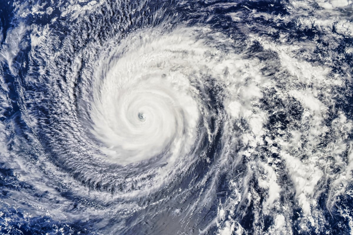
Hurricane Rachel reached Category 3 on Thursday, October 1, with sustained winds of approximately 193 kilometers per hour, as it advanced off the coast of the Mexican Pacific.
Its trajectory out to sea reduces concern for a direct impact, but maintains other dangers: the waves generated by a cyclone can reach coastlines far from its center.
For Hispanic communities in the United States, vigilance is also important due to travel to Mexico and the effects of tropical humidity on regions exposed to flooding.
During the early hours of Friday, the National Hurricane Center reduced its estimated intensity to around 185 kilometers per hour and described signs of deterioration in its structure.
Rachel and Polo Prolong the Threat of Rain
Hurricane Rachel has strengthened into a major hurricane this afternoon and is the 8th major hurricane of the season. Rachel will continue to move westward where it will move into a less favorable environment and gradually weaken throughout this weekend & into next week. pic.twitter.com/2fbRj8b70b
— StormHQ ☈ (@StormHQwx) October 1, 2026
Rachel appears after Polo, which hit Baja California Sur as a Category 2 hurricane and later crossed into mainland Mexico, leaving flooding and damage.
The remnants of Polo brought rain to the southwestern United States. This scenario was added to the humidity from Rachel, transported towards the center of the country by atmospheric circulation.
The distinction is important: the United States can receive effects from a Pacific cyclone without its center reaching the country or maintaining its original hurricane classification.
YOU MAY BE INTERESTED: Extreme heat will hit the US: Which places could exceed 100 degrees in the middle of October?
In Mexico, authorities were maintaining vigilance for intense rainfall, possible landslides, and river overflows in Baja California Sur, Sinaloa, and Jalisco, according to Thursday’s reports.
El Niño and Another System Keep the Pacific Active
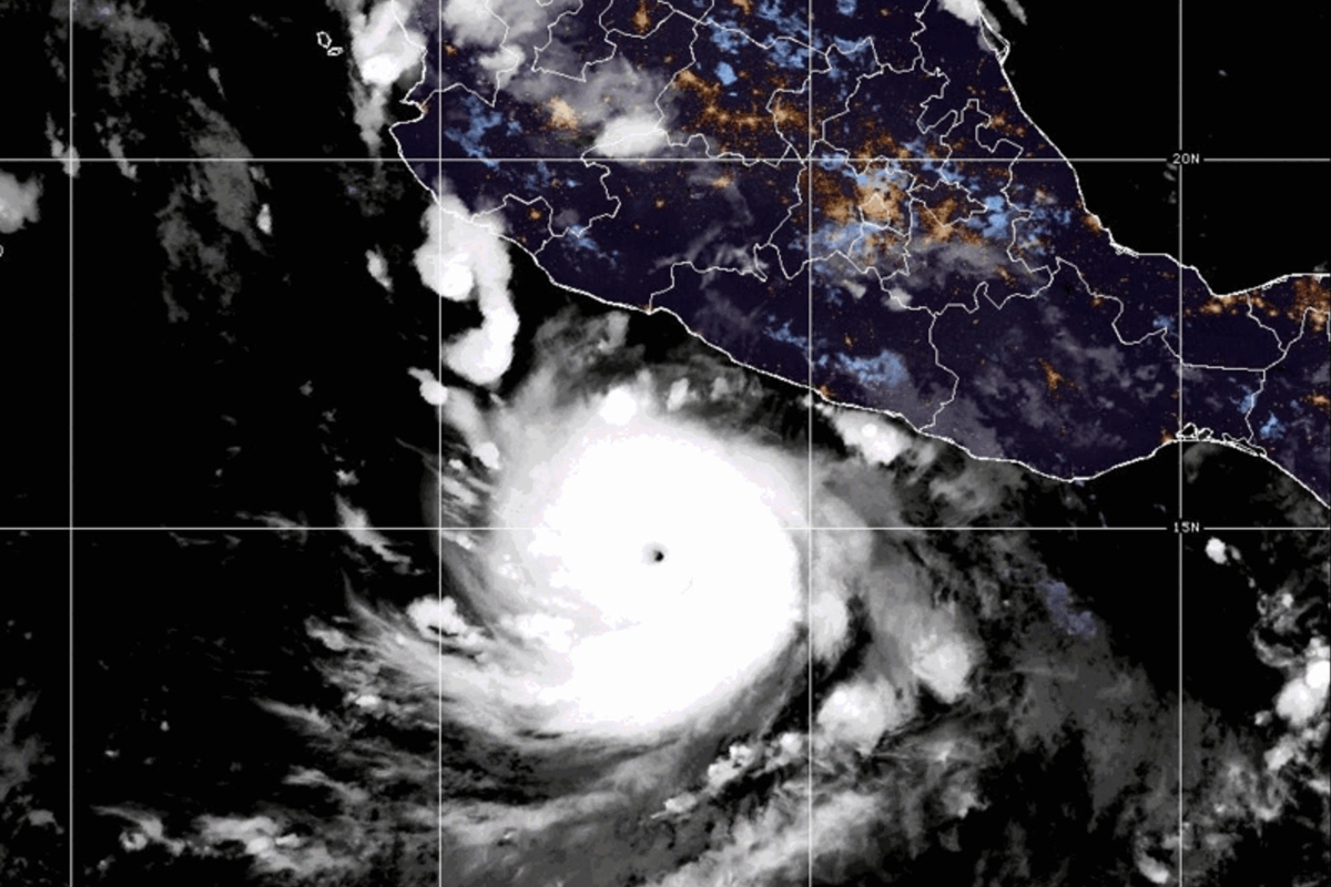
The activity occurs as El Niño strengthens. In September, the Climate Prediction Center estimated a probability of over 90% of a strong episode during fall and winter.
This context favors an active season in the Pacific, although the intensity and trajectory of each cyclone also depend on the oceanic and atmospheric conditions it encounters during its path.
Behind Rachel, another disturbance presents high possibilities of development. If it becomes the next named storm in the Eastern Pacific, it would be called Simon; it still needs to consolidate.
For those living or planning to travel in coastal areas, monitoring should focus on local warnings: a trajectory away from land does not guarantee safe beaches or the absence of flooding.
SOURCE: foxweather, syracuse