Hatteras Island Evacuation Ordered as Nor’easter Threatens Outer Banks


Posted on 10/20/26 at 08:00
- A mandatory evacuation remains in effect for Hatteras Island visitors.
- Coastal flooding threatens road access to communities.
- Dangerous surf conditions are expected to persist through Thursday.
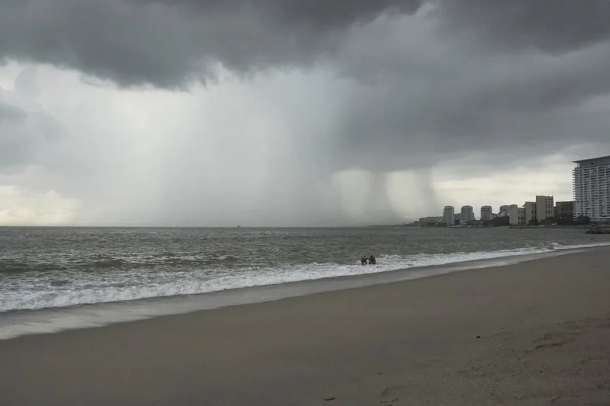
A powerful East Coast nor’easter continues to threaten parts of the U.S. Atlantic coastline, bringing coastal flooding, dangerous surf, and possible travel disruptions to North Carolina’s Outer Banks.
On Hatteras Island, North Carolina, the National Weather Service (NWS) has issued a coastal flood warning that remains in effect until 8 p.m. Wednesday, October 21.
A high surf advisory remains in effect until 6 a.m. Thursday, October 22. All times are Eastern Daylight Time.
The storm’s prolonged duration is a particular concern, as repeated high tides can push ocean water and sand onto coastal roads, potentially disrupting travel and cutting off access to communities.
Hatteras Island Evacuation Remains in Effect for Visitors
A lingering nor’easter will churn offshore this week, impacting the East Coast with gusty winds while inland areas stay dry. Forecasters warn there is a chance it could take on tropical characteristics. https://t.co/yHp43tfLeA https://t.co/2b21ubmbAF
— AccuWeather (@accuweather) October 19, 2026
Dare County issued a mandatory evacuation order for visitors to Hatteras Island beginning Friday night, October 16, as officials anticipated worsening coastal conditions.
The order covers Rodanthe, Waves, Salvo, Avon, Buxton, Frisco, and Hatteras Village. Local authorities continue to provide emergency updates for travelers who had planned to visit these communities.
The evacuation applies only to visitors. It does not include Hatteras Island residents or areas north of Oregon Inlet, an important distinction for families and travelers.
The primary concern is that prolonged coastal flooding and repeated ocean overwash could force an extended closure of North Carolina Highway 12 (NC 12), the main road connecting communities on the island.
Coastal Flooding and High Waves Threaten the Outer Banks

For low-lying areas of Hatteras Island near shorelines and tidal waterways, the NWS forecasts coastal flooding with water levels reaching 2 to 4 feet above ground level.
That is approximately 61 centimeters to 1.22 meters of inundation. Because this refers to water covering normally dry ground in vulnerable locations, it could make roads dangerous or impassable for vehicles.
The agency also forecasts breaking waves of 10 to 14 feet, approximately 3 to 4.3 meters, along with dangerous rip currents in the surf zone.
These conditions pose risks to swimmers and people approaching the shoreline to watch the storm. The warning also highlights potential impacts on coastal roads.
What Travelers to North Carolina Should Check
Authorities are urging visitors with reservations on Hatteras Island to contact their accommodations providers to adjust their plans and avoid traveling to the island while the evacuation order remains in effect.
Travelers should check road conditions at DriveNC.gov and review ferry service alerts, as operations may also be disrupted by the storm.
According to Dare County, reopening affected roads will depend on how long the storm lasts, the extent of the damage, and the work required to restore safe travel conditions.
Residents, workers, and visitors should check official updates before traveling and obey road closures, even if their final destination appears to be outside the flooded area.
SOURCE: foxweather