Cold Front 2 in Mexico Brings Torrential Rain as Tropical Storm Trudy Weakens


Posted on 10/19/26 at 15:34
Cold Front 2 in Mexico remains stationary over the eastern and southeastern Gulf of Mexico on Monday, October 19, 2026, bringing torrential rainfall to several states, according to the National Meteorological Service (SMN), part of Conagua. Meanwhile, Trudy, which reached hurricane strength last week, has weakened to a tropical storm in the Pacific but continues to generate dangerous surf along the coast.
- Rainfall of 150 to 250 mm is forecast for southern Veracruz, western Tabasco, northeastern Oaxaca, and northwestern Chiapas, bringing risks of flooding and landslides.
- A «Norte» wind event will bring gusts of 60 to 80 km/h to Veracruz and the Isthmus of Tehuantepec, along with waves of 2 to 4 meters along several Gulf of Mexico and Caribbean coastlines.
- Trudy has weakened to a tropical storm, and no coastal warnings are in effect, but rough seas could still produce dangerous rip currents.
Why it matters: Several areas along Mexico’s Pacific coast were already affected by Hurricane Simon last week, leaving the ground saturated. Additional rainfall increases the risk of landslides and overflowing rivers, making accurate weather information especially important for people with family in the affected regions.
Cold Front 2 in Mexico: Where the Heaviest Rain Will Fall
According to the SMN forecast, torrential rainfall (150 to 250 mm) will be concentrated in southern Veracruz, western Tabasco, northeastern Oaxaca, and northwestern Chiapas. Very heavy rainfall (50 to 75 mm) is expected in northern Yucatán and northern Quintana Roo.
Heavy rainfall (25 to 50 mm) is forecast along the coast of Jalisco, eastern Michoacán, central Puebla, southwestern State of Mexico, southeastern and southwestern Guerrero, and southwestern Campeche. Showers (5 to 25 mm) are expected across many northern and central states, including Mexico City. The SMN warns that the rain could be accompanied by thunderstorms and hail, increasing the risk of flooding, landslides, and overflowing rivers.
Strong Northerly Winds, High Waves, and Falling Temperatures
The cold front is accompanied by a «Norte» wind event, characterized by strong northerly winds. The SMN forecasts gusts of 60 to 80 km/h in central and southern Veracruz and the Isthmus and Gulf of Tehuantepec in Oaxaca, along with gusts of 40 to 60 km/h in Tabasco.
Waves of 2 to 4 meters are expected along the coasts of southern Veracruz, Tabasco, Yucatán, Quintana Roo, and the Gulf of Tehuantepec, while waves of 1 to 2 meters are forecast for Campeche. The associated polar air mass will keep temperatures lower across parts of the country, while a low-pressure trough over the Sierra Madre Occidental will also contribute to rainfall.
Tropical Storm Trudy: From Hurricane to Tropical Storm
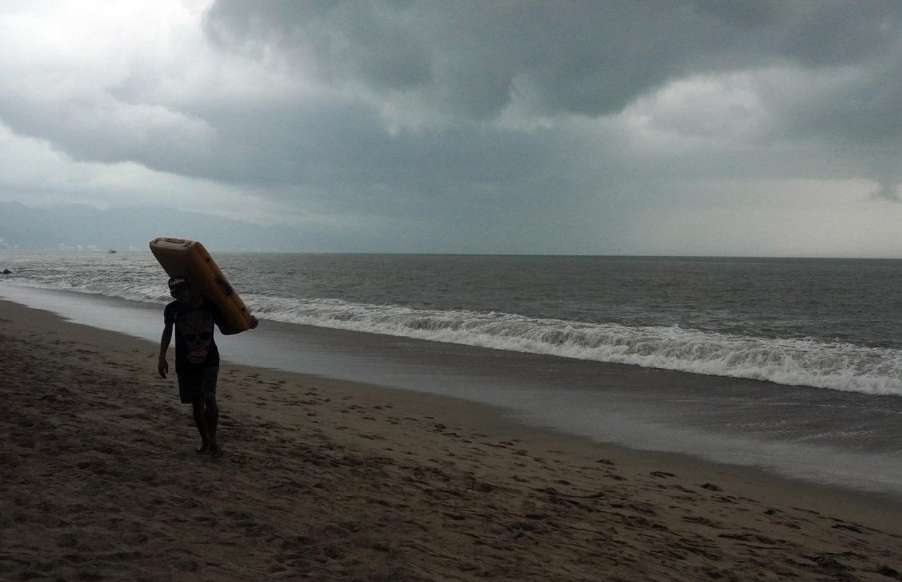
Trudy brought rain and strong winds to parts of Mexico’s Pacific coast, including Michoacán, Colima, and Jalisco, on Sunday, October 18, according to CBS News and AP. Authorities in Colima said the risk was low but warned that the ground was already saturated. Hurricane warnings along the coast had been lifted by Sunday night, and the system weakened to a tropical storm early Monday morning.
According to the National Hurricane Center’s (NHC) Advisory 25, issued at 8 a.m. Mountain Standard Time (11 a.m. Eastern Time) on Monday, Trudy was located about 190 miles (310 km) west-southwest of Cabo Corrientes. Maximum sustained winds reached 60 mph (95 km/h), and the storm was moving west-southwest at 7 mph. No coastal watches or warnings were in effect. The NHC expects Trudy to become a post-tropical cyclone by early Tuesday, October 20, and dissipate between Wednesday, October 21, and Thursday, October 22.
The SMN forecasts heavy rainfall in isolated areas, wind gusts of 30 to 40 km/h, and waves of 2 to 3 meters along the coast of Jalisco, as well as showers in Baja California Sur. Mexico’s Ministry of the Navy reported waves of 3.7 to 4.3 meters near the storm in its 4 a.m. Central Mexico Time advisory. To learn which storm names remain for the season, see the list of 2026 storm names.
What to Do If You Have Family in the Areas Affected by the Cold Front 2
- Follow official advisories from the SMN (smn.conagua.gob.mx) and your state’s Civil Protection authorities.
- Avoid crossing flooded streets, rivers, or low-water crossings.
- If family members live on hillsides or slopes, watch for cracks in the ground or falling rocks.
- Stay out of the ocean when red warning flags are posted.
- Keep important documents, a flashlight, drinking water, and medications readily available.
Sources: National Meteorological Service (Conagua); National Hurricane Center (NHC), Trudy advisory 25; Ministry of the Navy, tropical cyclone advisory; CBS News/AP. Data consulted on October 19, 2026.