2026 Hurricane Season Breaks Records, But One Area Raises Concern


Posted on 09/13/26 at 07:00
- Atlantic Sets Record
- Florida Under Watch
- Another Record Within Reach
The 2026 Atlantic hurricane season has reached an unusual record: as of September 12, no hurricanes had formed.
The Atlantic has thus reached the latest date in the satellite era without recording its first hurricane of the season, despite being near the climatological peak.
El Niño, wind shear, dry air, and Saharan dust have made it difficult for tropical storms to find conditions to strengthen.
The National Hurricane Center’s map also did not show a tropical cyclone likely to develop, extending an exceptionally quiet season.
2026 Hurricane Season Breaks Record
RECORD HURRICANE SEASON: 🌀The Atlantic is quiet — record quiet — this hurricane season thanks to an enormous El Nino that crushes storms before they get going. https://t.co/urrUBQxHgA
— WPLG Local 10 News (@WPLGLocal10) September 12, 2026
Satellite images show little tropical organization in the Main Development Region, from the African coast to the Caribbean.
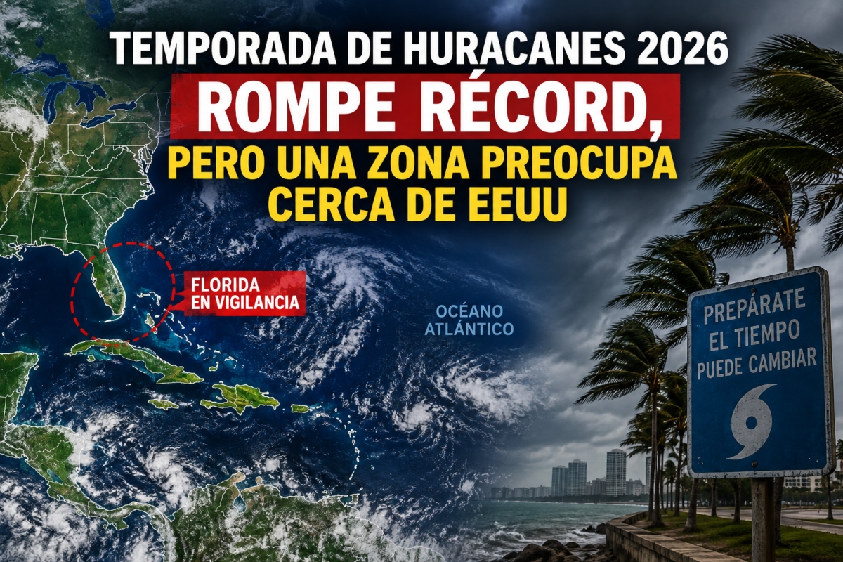
However, there is a greater concentration of rain and storms around Florida, from the eastern Gulf to the southwestern Atlantic.
In this region, there is greater humidity and less wind shear, two conditions that could favor tropical systems if other atmospheric factors align.
For now, there is no sign of immediate development, but non-tropical systems could leave areas of low pressure that would later need to be monitored.
A Cyclone Near the Coast Would Leave Less Time
No hurricanes have formed in the Atlantic Ocean 103 days into the season, a new record-long wait driven by a beast of an El Niño strangling fledgling storms. https://t.co/qfn3uw7YuA pic.twitter.com/Wk9TM7c2vJ
— CNN (@CNN) September 12, 2026
The waters off the southeastern United States often serve as a meeting point for fronts that arrive from the north and weaken over warm waters.
Under certain circumstances, these weakened fronts can generate surface circulation and eventually contribute to the formation of a tropical cyclone.
YOU MAY BE INTERESTED: Map anticipates the first snowfalls in the US: which areas could see snow first?
A storm in the upper levels could also move towards the southeast and later enter the Gulf, although it would initially produce unfavorable wind shear.
The problem for coastal communities is the distance: a system formed near land could significantly reduce the time available to prepare.
- Monitor: Florida and the Southeast.
- Risks: Rain, wind, and waves.
- Preparation: Don’t wait for a hurricane.
The Atlantic Could Still Break Another Record
After mid-September, another area southeast of Bermuda could present more favorable conditions for some tropical development.
The Atlantic season remains well below average, while the eastern Pacific maintains considerably greater cyclonic activity.
There is another historical record at play from 1941, a season that also started slowly during a prolonged El Niño episode.
Meteorologist Jesse Ferrell of AccuWeather explained that a later analysis determined the first hurricane of 1941 reached that intensity on September 21.
«If the Atlantic remains without a hurricane until September 21 of this year, the 2026 season will also break that record,» Ferrell noted.
This puts the Atlantic just a few days away from another exceptional mark, although the data should not be interpreted as a guarantee of a season without threats.
For those living in Florida, the Gulf, or the southeastern coast, the message remains preventive: keep supplies, check alerts, and keep the family plans up to date.
A slow season can change quickly, especially when systems form near the United States, leaving less margin to react.
Sources: AccuWeather, USA Today.