Extreme El Niño and Polar Vortex Could Shake Up US Winter


Posted on 09/20/26 at 06:02
- El Niño continues to strengthen
- Polar vortex could drive cold temperatures
- NOAA anticipates an unusual winter
According to Newsweek, the United States is preparing for a 2026-2027 winter marked by an atmospheric combination that could complicate forecasts: an exceptionally intense El Niño and natural variations of the polar vortex.
The NOAA estimates a probability of over 90% that El Niño will reach a very strong intensity during the fall and winter of the Northern Hemisphere, as it continues to strengthen in the equatorial Pacific.
The scenario is even more unusual for late 2026: the Climate Prediction Center calculates a 75% probability of a historic event between October and December that will surpass the intensity of any previous episode since 1950, according to its RONI indicator.
However, an extraordinarily strong El Niño does not automatically mean extreme cold, historic storms, or widespread snow. The NOAA itself warns that a more intense event increases the likelihood of certain patterns, but does not guarantee that they will appear in every region.
El Niño Could Dominate the 2026-2027 US Winter
ANALYSIS | The polar vortex is forming over the Arctic: Models point to a possible weakening midway through winter, against the backdrop of a very strong El Niño
https://t.co/lHC64fEpi8— VOZ (@Voz_US) September 18, 2026
According to VOZ, El Niño corresponds to the warm phase of the ENSO cycle and can modify large-scale atmospheric patterns, altering temperature and precipitation probabilities for several months in different parts of the United States.
NOAA’s seasonal outlook, published September 17, favors above-normal temperatures across much of the U.S. from October through December, including areas west of the Rockies and most regions east of the Mississippi.
The polar vortex adds another variable. It is a large area of low pressure and cold air that circulates around the poles and typically strengthens during winter. If its configuration allows Arctic air to move farther south, the U.S. can experience periods of intense cold.
However, the polar vortex is not a storm, and its presence does not guarantee a cold-air outbreak.
Can the Polar Vortex Change the El Niño Forecast?
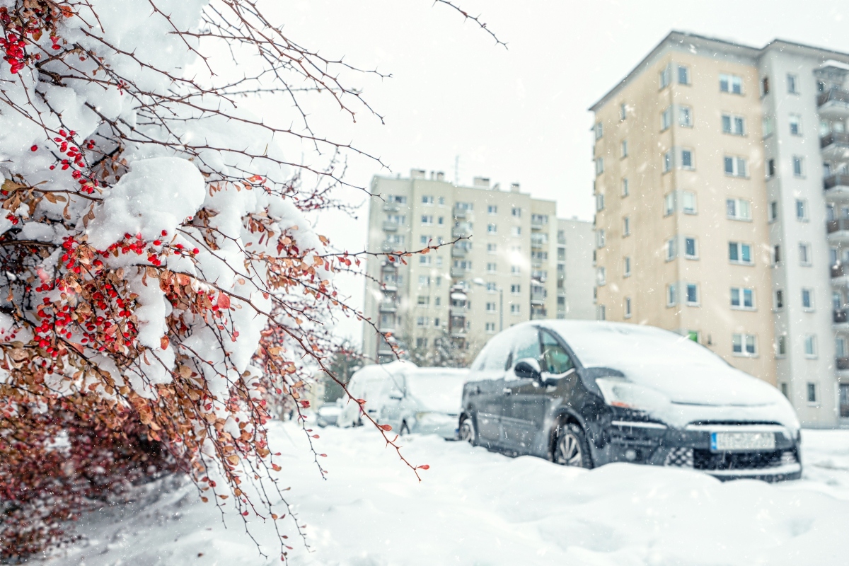
The biggest shift could come in the second half of winter, when changes in the polar vortex may trigger cold-air outbreaks despite El Niño’s generally warmer pattern. This means some areas could still see periods of extreme cold, snow, or unusual precipitation.
YOU MAY BE INTERESTED: El Niño could bring a «triple threat» to the California coast this winter
Conditions will vary by region, so seasonal trends cannot predict what every city or state will experience. NOAA continues to include El Niño in its outlook but notes that a stronger El Niño does not necessarily mean stronger effects in a particular location.
What You Should Know Before Winter
The combination of a very strong El Niño with changes in polar circulation could generate significant regional variations during winter.
NOAA calculates a probability of over 90% of a very strong El Niño during the 2026-2027 fall and winter.
El Niño modifies atmospheric patterns for months, while changes in the polar vortex can favor temporary episodes of Arctic air towards the United States.
Periodically review official local forecasts and prepare your home, car, and supplies in advance of potential cold or severe winter weather.