Possible Hurricane Isaias Threatens Gulf Coast: Inland Flooding a Concern


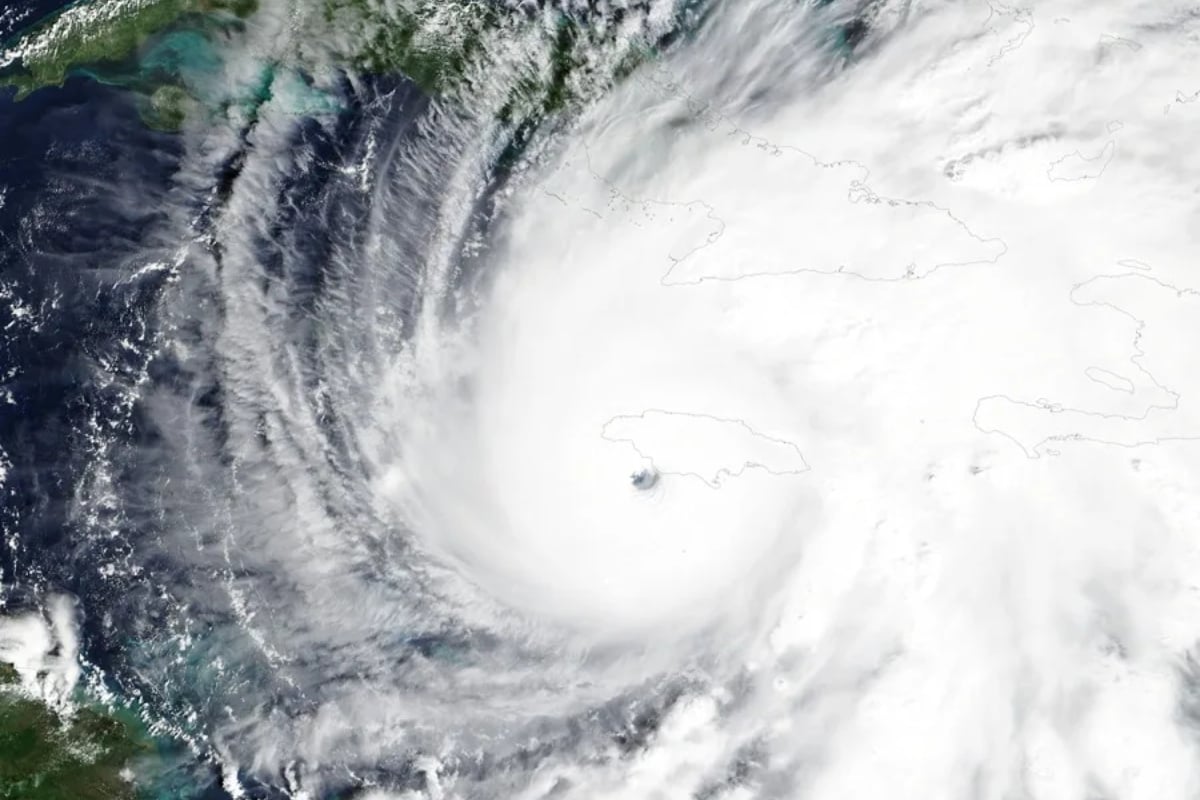
Posted on 10/07/26 at 08:24
- Nine could become Isaias.
- Gulf Coast faces risks.
- Flooding could extend inland.
Tropical Depression Nine formed on Tuesday, October 6, in the Gulf of Mexico and could become the first Atlantic hurricane of 2026.
The system threatens to bring heavy rain and strong winds to the US Gulf Coast, where families should begin reviewing their preparations.
It will be named Isaias if it reaches tropical storm intensity. Its evolution still depends on atmospheric conditions that can either favor or limit strengthening.
The main warning is that a lower category does not eliminate the danger: flooding can affect coastal communities and areas far from the point of impact.
Isaias’ Trajectory: Louisiana and Florida Under Watch
Tropical Depression Nine has formed in the Gulf, bringing the threat of heavy rain and gusty winds to parts of the Gulf Coast later this week. Here’s what we know: https://t.co/cY1VIKiuVq
— The Weather Channel (@weatherchannel) October 6, 2026
Consulted projections place the possible landfall between Louisiana and the Florida Panhandle, towards the end of Friday, October 9, or the beginning of Saturday, October 10.
This corridor represents a zone of possible impact, not a definitive landing point. Changes in the trajectory would modify the distribution of rain and wind.
AccuWeather contemplates a category 2 scenario in the provided forecast, while other consulted forecasts consider category 1 or 2 near land.
Therefore, residents should follow updates and local instructions, especially those living in flood-prone areas or with transportation needs.
Warm Waters Favor System Strengthening

The Gulf’s warmth provides energy for the cyclone’s organization, although the water temperature alone does not determine its final intensity.
Shear, or variations in wind with height, can disrupt circulation and hinder hurricane development.
The Weather Channel notes that the system could encounter greater shear as it approaches the northern Gulf, limiting its strength.
Uncertainty demands maintaining preparations: a change in intensity near the coast does not necessarily reduce threats from rain, waves, and storm surge.
Rain and Flooding Could Reach Inland

Consulted forecasts contemplate frequent accumulations of between 76 and 152 millimeters, with local amounts near 254 millimeters, subject to changes.
Danger increases where the soil remains saturated, as new precipitation can overflow drains, streams, and roads in a short period.
Humidity could advance through the southeast and reach the Appalachians, with possible effects on sectors of the Ohio Valley and the mid-Atlantic.
YOU MAY BE INTERESTED: Florida could receive a month’s worth of rain in days: drought relief brings flood risk
Thus, families far from the beaches also need to monitor flood alerts and review their travel plans during the weekend.
Storm Surge, Tornadoes, and Power Outages: How to Prepare
In addition to rain, the system can generate coastal flooding from storm surge, damaging winds, and isolated tornadoes, especially near and to the east of its trajectory.
Waves and rip currents represent additional dangers for swimmers and small boats, even before the center reaches land.
It is advisable to gather medications, water, flashlights, and batteries, charge phones, and review how to receive official alerts if the power supply is interrupted.
Local evacuation orders should guide decisions. Avoiding flooded roads will be essential during and after the system’s passage.
SOURCE: accuweather, weather