Storm Threatens Northeastern U.S.: Extreme Rainfall and Flash Floods Prompt Warnings


Posted on07/29/26 at 10:35
- Heavy Rainfall Triggers Flood Warnings Across Northeast US
- Flash Flood Risk Continues to Grow
- Several Cities Under Alert
An unusually powerful storm for this time of year is keeping much of the northeastern United States under close watch, as forecasters warn of heavy rainfall capable of triggering flash flooding through Thursday.
Forecasts indicate that the system will continue to strengthen as it moves into New England, bringing rainfall totals that could reach exceptional levels in some communities.
Weather officials warn that several cities could face flooded streets, rapidly rising streams, and dangerous driving conditions over the next several hours.
The storm comes during one of the busiest travel periods of the summer, meaning thousands of people could experience delays, road closures, and travel disruptions.
Boston, Hartford, and the Hudson Valley Face the Greatest Flood Risk
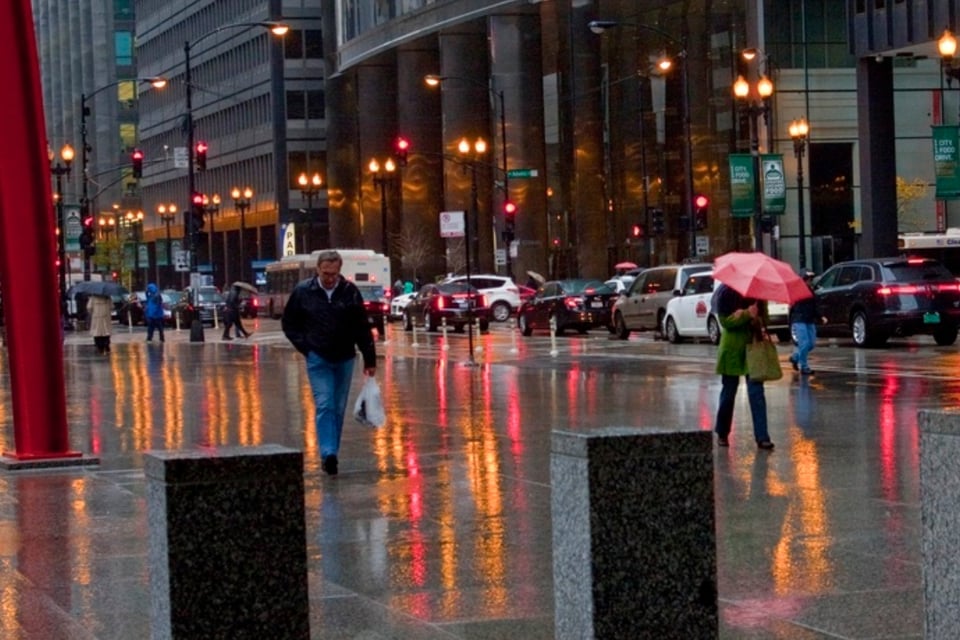
Forecasts call for widespread heavy rain across much of New England, with cities including Boston, Providence, and Hartford under the threat of flash flooding.
In New York State, the Capital Region is among the areas expected to receive the heaviest rainfall, with some locations potentially accumulating between 8 and 12 inches of rain.
YOU MAY ALSO BE INTERESTED IN: New York Stabbing Attacks Spark Alarm After Daylight Assaults in Manhattan
Meteorologists are also forecasting wind gusts of up to 30 mph along the coast, which could worsen the storm’s impact.
The heaviest rainfall is expected to continue through Wednesday before gradually weakening on Thursday and Friday.
Some Communities Could Receive Exceptional Rainfall Totals
Forecasters identify the Hudson Valley, western Connecticut, and western and central Massachusetts as the areas most likely to receive the highest rainfall totals.
Those regions are expected to receive 4 to 8 inches of rain, although localized amounts could be even higher where repeated thunderstorms move over the same locations.
AccuWeather says rainfall could reach as much as 14 inches in the hardest-hit areas if weather conditions allow storms to remain stationary.
The flood threat is heightened because saturated soil may quickly lose its ability to absorb additional rainfall, increasing the risk of flash flooding.
Meteorologists Warn of Urban Flooding and Rapidly Rising Waterways
AccuWeather Senior Meteorologist Alex Sosnowski said: «In some communities, where torrential rain persists for several hours, significant street flooding and rapid rises in small streams and drainage channels will occur.»
Sosnowski also noted: «New York City escaped the worst of the storm, as the heaviest rainfall and flash flooding remained concentrated north and west of the city’s five boroughs.»
However, he added that periods of heavy rain are still expected in New York City, while the most intense rainfall will remain focused across the Hudson Valley and parts of New England through Wednesday evening.
The advancing low-pressure system could also produce strong thunderstorms and even isolated waterspouts or tornadoes.
Roads and Travel Could Be Disrupted Through Thursday
Officials expect flooded roadways and poor visibility to create hazardous driving conditions on several major highways across the Northeast.
Interstates 95 and 87, both heavily traveled by commuters and vacationers, are among the roads most likely to experience disruptions.
Although the most significant impacts are expected through Wednesday night, lingering rainfall may continue to cause travel problems for much of Thursday.
Experts recommend closely monitoring weather updates and avoiding flooded roads while the storm system continues to affect the region, according to AccuWeather.