Florida Receives Up to 20 Inches of Rain: Danger Doesn’t End When Rain Stops



Posted on 11/03/26 at 07:30
- Brevard records up to 20 inches.
- New rains threaten saturated areas.
- Risk continues until Tuesday.
Monday’s torrential rains, November 2, caused dangerous flooding on Florida’s east coast, with Palm Bay among the most affected areas.
The National Weather Service (NWS) reported accumulations of between 15 and 20 inches in parts of southeastern Brevard during the morning.
The situation prompted a flash flood emergency for West Melbourne, Palm Bay, and Grant-Valkaria, where authorities warned of life-threatening risks.
Water threatened streets, roads, low-lying areas, and urban zones as new storms dumped rain on already flooded areas.
What a «1-in-1,000-year» rain means
Palm Beach Gardens, Florida, recorded nearly 17 inches of rain in just six hours on Sunday, overwhelming roads and triggering flash floods. The deluge was described as a 1-in-1,000-year rainfall event. https://t.co/5aHDTqefbD
— Breaking911 (@Breaking911) November 2, 2026
According to radar estimates released by FOX Weather, between 18 and 20 inches fell in just 12 hours south of Palm Bay.
The media outlet described these accumulations as an episode associated with a 1,000-year return period, due to their exceptional local intensity.
NOAA explains that this expression represents an approximate annual probability of 0.1%; it does not mean that ten centuries must pass between episodes.
Additionally, the classification depends on the location and duration of the precipitation: an extraordinary rain does not by itself demonstrate a flood of equal recurrence.
More rains threaten Florida’s east coast
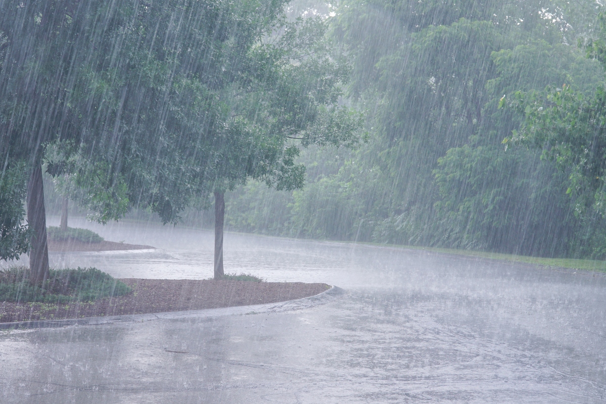
The forecast released on Monday placed large areas of the Atlantic coast under a level 2 out of 4 flash flood risk.
The area included Miami, Fort Lauderdale, West Palm Beach, Melbourne, Jacksonville, and Key Largo, although the effects could vary between localities.
Between 2 and 3 additional inches of rain were expected, equivalent to about 5 to 7.6 centimeters, during Monday.
For Tuesday, the possibility of isolated flooding persisted between the Space Coast and Miami, with a forecast risk of level 1 out of 4.
The threat continues even if storms decrease
The forecast pointed to a reduction in the most intense rains towards the end of the afternoon, without an immediate disappearance of the danger.
The saturated terrain makes it difficult to absorb new precipitation and favors the rapid accumulation of water in vulnerable points.
In the Atlantic beaches, rip currents and waves of between 4 and 6 feet, or higher, were also a concern.
YOU MAY BE INTERESTED: Storm threatens 35 U.S. states: evacuations ordered due to historic flooding
The winds directed towards the coast added another threat to the coastline, which faced simultaneous risks from rain and adverse maritime conditions.
What residents can do in the face of flooding
The NWS recommends avoiding any road covered by water and respecting barriers, even when the route appears passable.
About six inches of moving water can knock down an adult; approximately one foot can sweep away many cars.
Families should keep emergency alerts on their phones active and consult the official notices corresponding to their locality.
If the water starts to rise, they should seek higher ground without attempting to cross flooded areas, either on foot or in a vehicle.
SOURCE: foxweather