First Snowflakes in the US: Cold Air Advances, But Snow Conditions Still Uncertain


Posted on 11/08/26 at 16:30
- Possible snowflakes between Thursday and Saturday.
- Mountains have a higher potential for accumulation.
- Frost could reach the South.
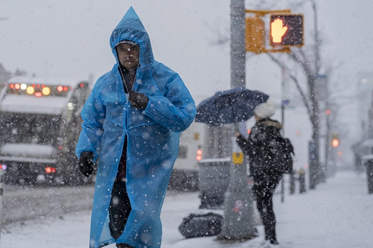
A cold air mass could bring the first snowflakes of the season to parts of the central and eastern United States between Thursday, November 12, and Saturday, November 14.
This change will come after several relatively mild days in the Midwest and Northeast, according to AccuWeather’s forecast.
The possibility includes parts of the Great Lakes, the Ohio Valley, the Appalachians, and New England, although not all areas will receive snow.
Seeing snowflakes doesn’t mean the streets will be covered. Accumulation will depend on altitude, temperature, and the trajectory of the system.
Pittsburgh, Syracuse, and Binghamton Could See the First Snowflakes
FIRST SNOW OF SEASON POSSIBLE FOR NORTHEAST: There is a possibility that a snowstorm could hit the Northeast before the end of the week. While there is uncertainty surrounding this system, the Northeast mountains have the best shot at accumulating snow. Stick with FOX Weather as this system continues to develop.
— FOX Weather (@foxweather) November 8, 2026
Cities under watch include Pittsburgh, Pennsylvania, and Syracuse and Binghamton, New York.
There is also a possibility of snow in the Poconos, Catskills, and Berkshires, where elevations favor lower temperatures than in the valleys.
The National Weather Service forecasts a possible transition from rain to snow in Syracuse during the early morning hours of Friday, followed by opportunities for winter precipitation.
For now, these scenarios describe probabilities and do not allow for setting snow amounts or ensuring that each location will have its first snowfall.
New York, Boston, and Philadelphia Will Have Different Conditions
The initial forecast keeps New York, Boston, and Philadelphia at temperatures too high to receive the first snowflakes during this episode.
The influence of the nearby Atlantic will help moderate the environment in these cities, compared to the cooling expected inland.
Therefore, a snow forecast for the state of New York does not necessarily imply snowfall in the city of the same name.
Local differences will be important for those traveling between coastal areas, valleys, and mountains during the second half of the week.
Frost Could Reach Tennessee, Alabama, and Parts of Georgia
The cooling has more support in the forecast than the exact distribution of snow and could extend to parts of the South.
Nashville and Knoxville, Tennessee, and Huntsville, Alabama, are among the places at risk of temperatures near or below 32 °F, equivalent to 0 °C.
The northern suburbs of Atlanta could also register this drop, especially from Thursday night and during the weekend.
YOU MAY BE INTERESTED: Is the cold waiting? November points to more heat, but doesn’t rule out snow in the US
Several consecutive cold nights could put an end to the growing season where intense frosts have not yet been recorded this autumn.
Why the Storm’s Trajectory Remains Decisive
The scenario depends on the interaction between a system from the northwest and additional energy accompanied by cold air from Canada.
Encountering warmer air from the Gulf would favor its intensification, but small changes would alter where moisture and sufficiently low temperatures coincide.
Families can check their city’s forecast before traveling and organize the protection of sensitive plants.
The reference will be the local update: the regional risk of snow does not equal an active alert for each community.
SOURCE: accuweather