Frost Advisories Across the South and Ohio Valley; Flood Alerts From Texas to California


Posted on 11/09/26 at 07:57
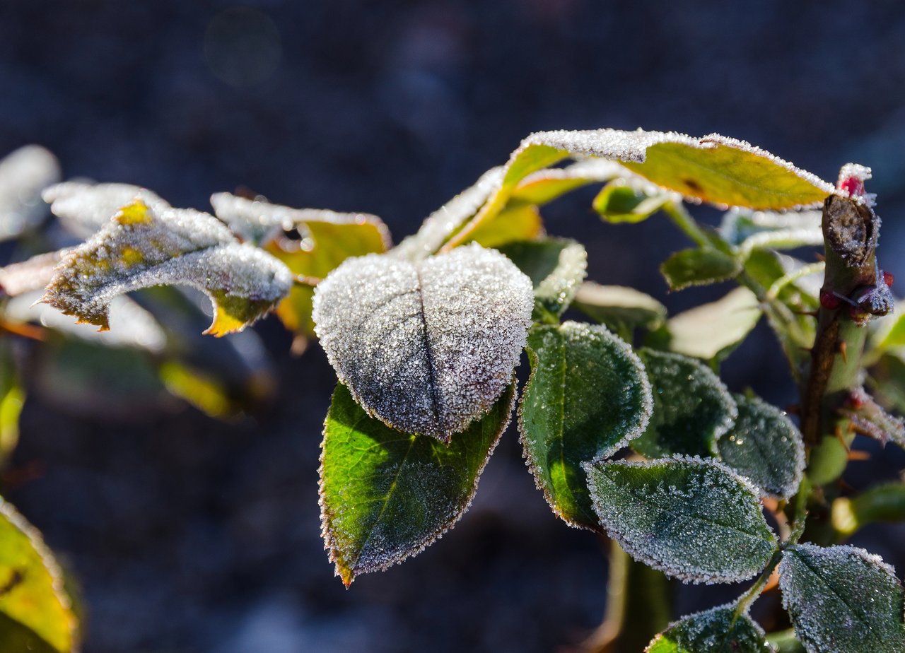
If your car windows looked frosty this morning, it wasn’t your imagination. The National Weather Service had frost advisories in effect early Monday, Nov. 9, 2026, across parts of Alabama, Georgia, Mississippi, Kentucky, Indiana, Ohio, West Virginia, Virginia and North Carolina. At the same time, flood warnings and coastal flood advisories are still active in several other parts of the country.
So what does this mean for you? Let’s take it one piece at a time.
How cold did it get, and when does the frost advisory end?
Forecasters said clear skies would let temperatures drop into the mid-30s. Here is what the National Weather Service offices reported:
- Alabama and Mississippi: Lows of 33 to 37 degrees in northern and central Alabama and as low as 35 in southwest Alabama and Wayne County, Mississippi. Advisories end at 8 a.m. CST.
- Georgia and North Carolina: As low as 35 in northern Georgia and 36 in the western Piedmont and foothills of North Carolina. Both end at 9 a.m. EST.
- Kentucky, Indiana, Ohio, West Virginia and Virginia: Lows as low as 34 to 36 in many areas. The Jackson, Kentucky, office said a few places could briefly fall below freezing. Most of these advisories end between 9 and 10 a.m. EST.
What should gardeners and farm workers do now?
The advisories warn that frost could harm sensitive outdoor plants, and that they may be killed if left uncovered. The National Weather Service’s advice is simple: protect tender plants from the cold.
Since the advisories wrap up this morning, the biggest question now is what the night did to your garden. Take a look at your tomatoes, peppers, flowers and potted plants once the frost melts. For what comes next, check your local National Weather Service office. These advisories only cover this morning.
Commuters and parents at the bus stop can relax a little on this one. The advisories focus on plants, not roads. Still, it’s a good morning to dress the kids in layers.
If you’ve been wondering when real cold would show up, our earlier story on why cold weather has been delayed this November has more background.
Where are the flood risks right now?
This is the part that deserves more attention. Here is the rundown, region by region.
South Texas. The National Weather Service in Corpus Christi has a Flood Watch until noon CST today for a long list of counties, including Nueces, Kleberg, San Patricio, Bee, Webb and Jim Wells. Radar estimates show 4 to 8 inches of rain have fallen across the southern Rio Grande Plains and Brush Country. Creeks and streams could rise out of their banks, and low-water crossings may flood.
There is also a Flood Warning for Oso Creek near Corpus Christi, with moderate flooding forecast from Monday morning to Wednesday afternoon, Nov. 11. At that level, the Weather Service says secondary roads and low bridges near the creek flood. Along the coast, a Coastal Flood Advisory runs until 3 a.m. CST Tuesday for minor flooding of lots, parks and roads. We covered the setup in our earlier look at the South Texas road risk.
Florida. The Peace River at Arcadia, in DeSoto County, is in moderate flood. It was at 15.0 feet Sunday evening, and flood stage is 11 feet. The Weather Service says River Acres is affected. The warning runs until Friday, Nov. 13, with the river expected to fall below flood stage late Friday morning. Farther north, the St. Johns River near Sanford, in Seminole County, is forecast to reach minor flood stage early Tuesday afternoon. It is expected to keep rising to 5.9 feet by Friday morning. At 6 feet, water reaches low roads, pool enclosures and patios in the Stone Island area. For more on the state’s recent troubles, see our coverage of the flooding in Florida.
Iowa. The Iowa River at Marengo, in Benton and Iowa counties, is in minor flood. It was at 15.5 feet Sunday evening, and flood stage is 15 feet. The Weather Service expected a crest of 15.5 feet just after midnight and a fall below flood stage by late Monday evening. Mostly low-lying farmland is affected.
Arizona. A Flood Warning for the Salt River in Maricopa County runs until 11 a.m. MST today because of releases from Bartlett Dam. The Weather Service says recreation on or near the river is unsafe, mainly around and downstream of where the Verde and Salt rivers meet.
What about the California coast?
Several Weather Service offices have Coastal Flood Advisories through noon PST Tuesday, Nov. 10. High tides and big surf are the issue:
- San Francisco area: Up to 1.6 feet of water above ground is possible in low-lying areas, and waves of 12 to 16 feet are expected. The Beach Hazards Statement runs through Monday evening.
- Ventura County: Moderate coastal flooding is expected at morning high tides, with waves of 6 to 9 feet on Monday.
- San Diego County: Minor to locally moderate flooding is expected, with surf of 3 to 7 feet.
- Humboldt Bay: Minor flooding is possible from 10 a.m. to noon PST today, with high tide at 10:52 a.m. Jackson Ranch Road in the Arcata Bottoms and several roads in King Salmon are likely to be affected.
If you’re headed to the beach, stay off the jetties and rocks, and keep inexperienced swimmers out of the water. The Weather Service says waves can sweep across the shore without warning.
What’s the one rule for flooded roads?
Turn around, don’t drown. Most flood deaths happen in vehicles, and the Weather Service says never to drive around barricades or through water of unknown depth. If you live near a river or creek in any of these areas, know where you are compared with the water.
Where can I keep checking?
These alerts can change quickly, especially the flood warnings. Look up your local National Weather Service office at weather.gov and check it before you head out. We’ll keep following these stories here on MundoNow.