Atmospheric Rivers Bring Rain to the Pacific Northwest and Threaten California


Posted on 11/09/26 at 22:00
- Successive rain showers in the Northwest.
- Washington has already experienced power outages.
- California could receive intense rain.
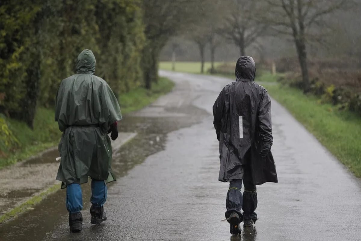
A series of atmospheric rivers is maintaining the western parts of Washington and Oregon under a pattern of persistent rain, strong gusts, and possible localized flooding.
The Western Weather and Water Extremes Center predicted two new moisture entries, one on Monday, November 9, and another on Tuesday, November 10.
The Pacific jet stream is directing bands of water vapor toward land. When the humid air rises over the slopes, it can intensify the rain.
If the soil is already saturated from the initial storms, it absorbs less water. The rain from subsequent rounds can flow into the rivers and cause flooding.
Expected Rainfall in Washington and Oregon
A Category 3-4 Atmospheric River is about to bring significant rainfall to parts of the PNW, including localized flooding and high streamflow.
30-75mm Fraservalley/and Metro van south of the Fraser
50-100mm northern sections, 150-250mm Northshore Mountains and locally up to 300mm West Van island
1-3 In cascades 0.2-1in Puget sound
Up to 5IN Olympic mountains by late Thursday. Snow levels starting at 1500m in the north shore mountains rising to 2500m quickly
#BCStorm #WAWX #AtmosphericRiver— WestCoastWX22 (@ElijahBman) November 9, 2026
FOX Weather forecasts between 5 and 8 inches of rain, or more, in parts of western Washington during the week. That’s equivalent to about 13 to 20 centimeters.
In low-lying areas away from the coast, the forecast is for 1 to 3 inches, about 2.5 to 7.6 centimeters.
Coastal communities and the slopes of the Cascade Range may experience periods of moderate to intense rain.
After several days of rain, minor flooding may occur near vulnerable rivers in Washington and Oregon.
Wind Already Causing Power Outages in Washington
🇺🇸 A series of storms brings rain and snow to the northwest of the US; nearly 50,000 residents are without electricity in the state of Washington, according to @foxweather
https://t.co/DBQFNVvFUr
— Global Network News 🌎 (@GlobalNetw33) November 8, 2026
Nearly 100,000 customers were left without electricity in Washington during the night of Saturday, November 7, to Sunday, November 8, according to FOX Weather.
In low-lying areas, gusts ranged from 50 to 60 mph, approximately 80 to 97 km/h.
Near Mount Rainier, a gust of 95 mph was recorded, about 153 km/h. In Crystal Mountain, the wind reached 93 mph.
For November 14 and 15, NOAA indicates a moderate risk of strong winds along the western coastal strip.
When Rain May Reach California
Rain could reach Northern California by Friday, November 13, and move into the Bay Area and Central Valley during the weekend.
NOAA estimates a 40% to 60% probability of intense precipitation on November 14 and 15 in parts of southwestern Oregon and northern and central California.
In the high elevations of the Sierra Nevada, the agency also identifies a moderate risk of intense snowfall on those days.
YOU MAY BE INTERESTED: First snowflakes and frost in the US: the cold advances, but snow still has conditions
The trajectory of the moisture bands will determine where the largest accumulations occur. NOAA warns that the timing and intensity can still vary.
What to Do in Case of Flooding, Wind, and Snow
Check the National Weather Service alerts for your area before leaving.
If there is water on the road, turn around and look for another route.
If you are going to cross the Sierra Nevada, check the status of the mountain passes before traveling.
In areas exposed to gusts, charge your phone and have a flashlight on hand in case of power outages.
SOURCE: foxweather