Super Typhoon Champi and a Potential Storm: What’s Happening in the Pacific


Posted on 10/20/26 at 20:42
- Champi matches the maximum annual intensity.
- Invest 94E could be named.
- Path towards Mexico remains uncertain.
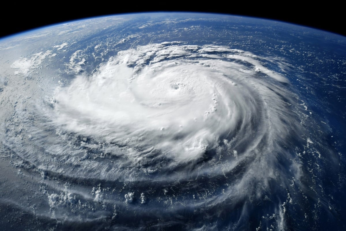
Super Typhoon Champi reached sustained winds of 185 miles per hour, approximately 298 kilometers per hour, according to information released by FOX Weather about its intensity on Tuesday. It tied with Sinlaku as the most powerful cyclone of the year in terms of wind speed, according to the same source. foxweather.com
Precision matters: Champi shares this mark; describing it as the only phenomenon stronger than 2026 would omit the tie noted in the report. As the system advances through the western Pacific, another disturbance south of Mexico is drawing attention due to its possible development over the next few days.
Invest 94E Could Become Tropical Storm Vance
Super Typhoon #Champi has downright exploded in intensity today and now has maximum sustained winds of 185 mph with an astonishing minimal central pressure of 895 mb. Meteorological masterpiece. https://t.co/gH9BKDB46i
— Anthony Duarte (@AnthonyDuarte03) October 20, 2026
The disturbance Invest 94E is located several hundred miles south of Mexican territory and presents possibilities of organizing as a tropical depression. The cited forecast contemplates this development over the next 48 hours, although the evolution of a disturbance depends on the conditions it encounters.
If it subsequently reaches tropical storm intensity, it would be named Vance. Until then, it must be identified as a system under surveillance. According to the reference report, it would be the first storm in the eastern Pacific with a name starting with V since 2018, a fact about accumulated activity.
Possible Path Towards Mexico Remains Uncertain
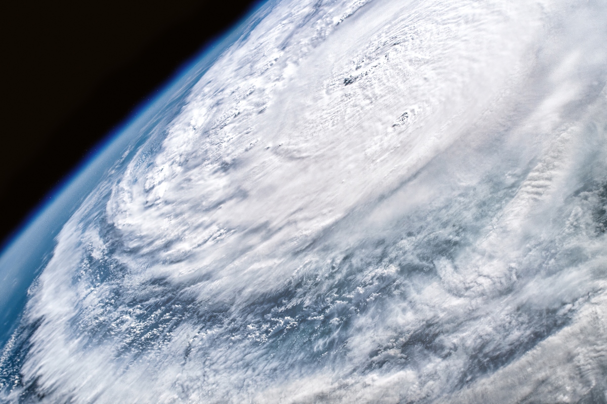
The models analyzed by the FOX forecast center suggest an initial displacement towards the northwest and a possible subsequent turn towards Mexico. However, there are considerable differences regarding the direction and times of the movement, so this scenario still requires monitoring.
A trajectory suggested by models does not equate to a confirmed impact, nor does it allow for the establishment of which locations would face effects on its own. For families with ties or travel to Mexico, the relevant information will be the next official alerts about development, location, and possible coastal risks.
Warm Waters and Tehuantepec Winds Enter the Scene
The report describes very warm waters in the eastern Pacific, a condition that can favor tropical development when other atmospheric factors coincide. It also suggests that an episode of Tehuantepec winds could contribute to concentrating humidity and favoring the organization of the disturbance.
These winds cross the Chivela Pass, a mountain opening in southern Mexico, and project towards the ocean.
YOU MAY BE INTERESTED: The east coast faces days of danger: storm threatens access and forces the evacuation of tourists in Hatteras
Although the text links the scenario to El Niño, this reference does not allow attributing the intensity or trajectory of each cyclone exclusively to the climate phenomenon.
Champi Passed Near Guam and Heads Towards Japan
Before reaching its most recent intensity, Champi passed near Guam, a US territory in the Pacific, and continued towards the west of the Marianas. Associated Press reported that Washington approved an emergency declaration for Guam, with federal assistance aimed at complementing the local response.
The cited forecast predicts a gradual weakening as Champi approaches southern Japan, although its evolution should be reviewed through updated bulletins.Champi and Invest 94E belong to different sectors of the Pacific: their trajectories and risks must be evaluated separately, without transferring the threat from one to the other.
SOURCE: foxweather