Miami to Charleston: High Tides and Rain Threaten Flooding for Several Days


Posted on 10/26/26 at 07:04
- Elevated tides threaten coastal communities.
- Prolonged rainfall extends regional risk.
- Check high tide schedules before heading out.
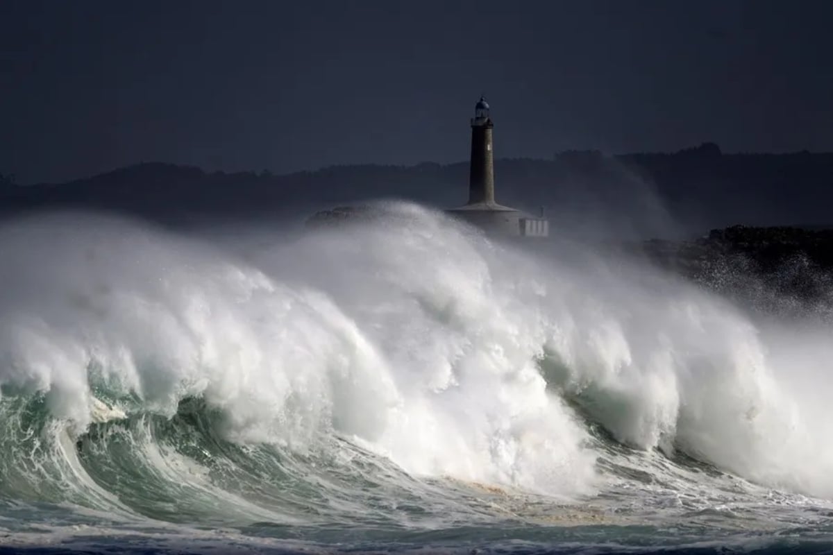
Communities along the Southeast coast of the United States are facing ongoing threats due to exceptionally high tides, persistent winds, and rainfall. According to FOX Weather, the affected area stretches approximately 500 miles (about 800 kilometers) from Miami, Florida, to Charleston, South Carolina.
The greatest risk is in low-lying regions, where conditions may worsen over multiple high-tide cycles, with impacts varying by location. For residents and drivers, this means a passable street in the morning could have water accumulation hours later.
Rain in Florida Extends Risk Until Tuesday
⚠️ ⛈️ FLOOD RISK: The multiday flood threat that brought inches of rain to the Southwest has shifted to the Plains on Sunday to wrap up the weekend which is expected to continue to start the work week. FOX Weather Meteorologist @MelanieBlackWx has the latest: https://t.co/tzZMY2H8NP
— FOX Weather (@foxweather) October 25, 2026
The forecast released by FOX Weather calls for precipitation through at least Tuesday, October 27, with possible accumulations of 2 to 4 inches.
This range is equivalent to approximately 51 to 102 millimeters; the distribution will depend on where the downpours concentrate.
Tropical humidity favors episodes of heavy rain that can overload urban drainage and produce localized flooding.
However, the National Weather Service notes that the overall risk of excessive rain in southern Florida is limited, although isolated flooding may occur.
High Tides Can Worsen Flooding in Florida
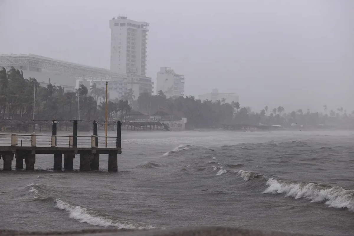
So-called king tides are exceptionally high astronomical tides that can cause coastal flooding even when it’s not raining.
When they coincide with winds that push water towards land, they hinder the exit of accumulated water and prolong problems in vulnerable sectors.
The NWS in Miami forecasts moderate coastal flooding during high tides and expects it to intensify on Monday and Tuesday.
Its update on Sunday, October 25, also warns that hazardous conditions on beaches and coastal waters will persist until mid-week.
Jacksonville and Charleston Face Different Vulnerabilities
In Jacksonville, winds can hinder the St. Johns River’s drainage into the ocean and favor water accumulation.
This backwater effect poses a distinct threat beyond that caused directly by downpours on streets and in neighborhoods.
In Charleston, small additional increases in sea level can affect roads and historic areas built on low-lying land.
YOU MAY BE INTERESTED: The anticipated forecast for Halloween points to changes due to El Niño: this is how it could affect millions in the United States.
Therefore, the regional scope of the episode does not imply continuous flooding over the 800 kilometers or identical intensity for all communities.
What to Do in the Face of Flooded Streets and High Tides
Before heading out, check the NWS alerts and closures published by your city or county authorities.
Also, check local high tide schedules, especially if you park or drive regularly in areas near the sea.
Avoid crossing flooded streets: the depth, pavement condition, and current force can be difficult to assess.
Prepare alternative routes and follow local instructions. A decrease in rain does not guarantee that the coastal danger has ended.
SOURCE: FoxWeather